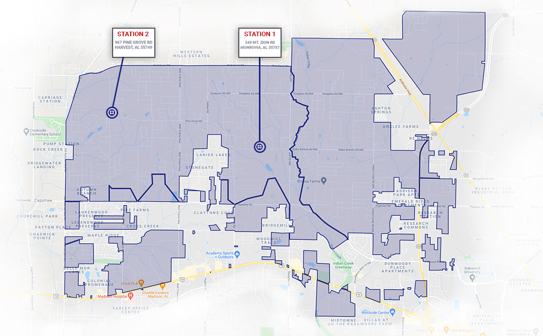
Our jurisdiction spans 22 square miles across the western portion of Huntsville, AL which includes all of the unincorporated Monrovia. The general boundaries are West to Old Road Railroad Road, South to Capshaw Road including large pockets of jurisdiction to HWY 72, East to Ardmore HWY, and Nick Davis Road North.
We are responsible for portions of HWY 72, Clift Farms, Henry House, and most new development north of HWY 72. This includes approximately 30,000 residents in over 100 subdivisions and other areas, 5 schools, and many commercial businesses of all sizes including Publix, Walmart, and more.
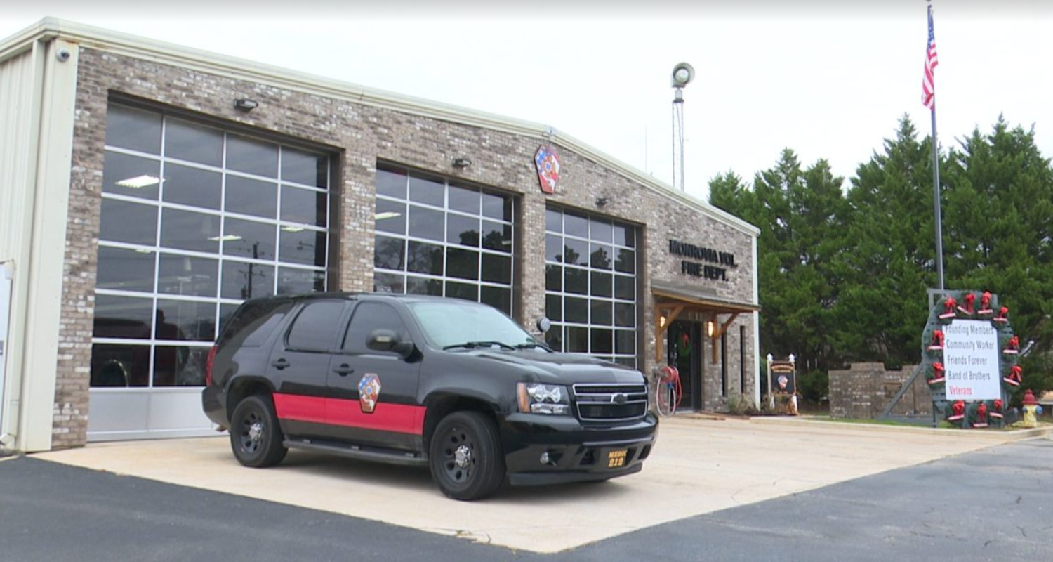
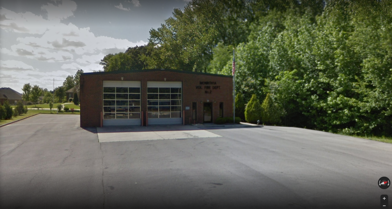
We provide service from 2 fire stations strategically placed throughout the district we serve. Click on the map for a larger view or scroll down to engage in our interactive map.